Step 1: Cleanse your lidar
Get rid of the trees and buildings before you do any sort of terrain volume calculation. We want to work with only the bare-ground pointsin the lidar dataset.
I cleaned my lidar with pdal. I used its built-in SMRF (Simple Morphological Filter) via the osgeo4w command line interface. It looked something like this:
pdal translate in.las out.las smrf -v 4
This outputs a .las file that contains the same points as the input but now with a classification value for each point:
1 - Not ground
2 - Ground
Next step is to output a file with just the ground points. We can use the translate command again but this time flag (-f) a range filter of the ‘classification’ type:
pdal translate in.las out.las -f range --filters.range.limits="Classification[2:2]"
Step 2: Clip your data
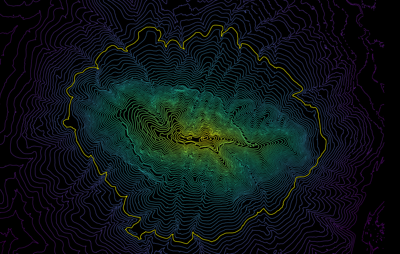
This step helps you extract contours out of your lidar data to find a proper base value to measuer the valume from
I arbitrarily clipped Cerro San Luis Obispo Mountain to elevations at or above 145m, using the contours as a guideline. I ended up converting the point cloud into a raster with PDAL’s pipeline function. (The raster helps extract contours). Here’s the json pipeline I used:
[
    "cerro_san_luis_ground_only.laz",
    {
        "type":"writers.gdal",
        "filename":"cerro_sluis_ground_only.tif",
        "output_type":"min",
        "gdaldriver":"GTiff",
        "window_size":3,
        "resolution":0.5
    }
]
Then run the pipeline via command line using PDAL2:
pdal pipeline -i dtm.json
Convert the raster to contours and pick a height at a low point in the terrain.
Step 4: Calculate the Volume
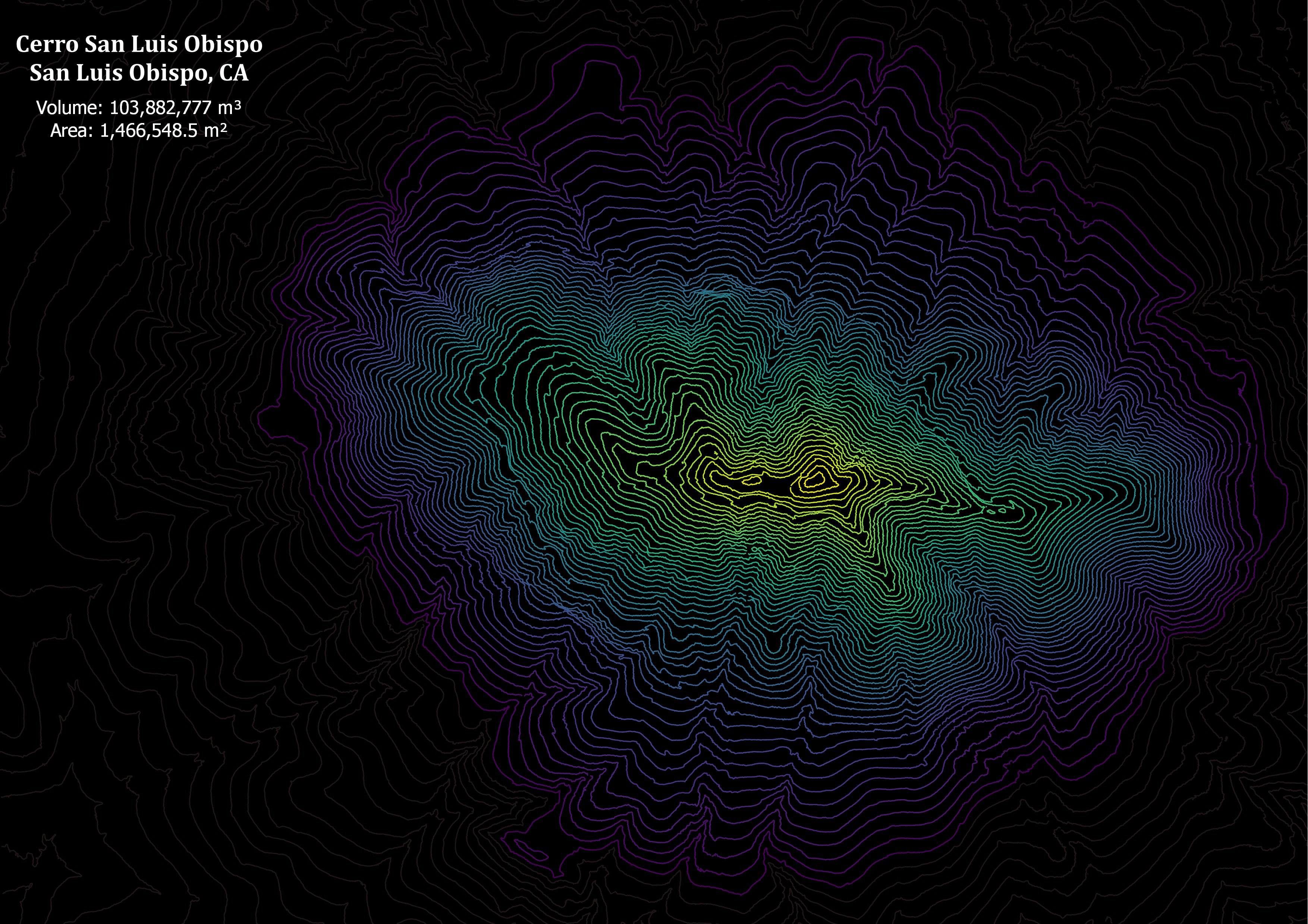
Use CloudCompare has a function called ‘Compute 2.5 D Volume’. Specify your base height and a report will display the calculations. I went ahead and made a map to show my results: